
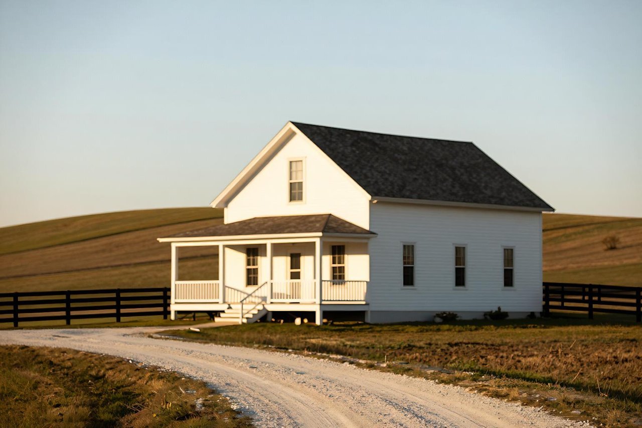
Drive forty minutes outside almost any mid-sized American city and you’ll pass towns that look rural by every reasonable definition: a grain elevator, one stoplight, Friday night football. Some of those towns qualify for a USDA-backed mortgage. Some don’t, and the reason usually has nothing to do with how the place looks.
USDA eligible rural areas are drawn from census data and boundary lines, not from whether you can see a cornfield off the porch. If you’re house hunting with a zero-down USDA loan in mind, the most useful thing you can do before touring a single property is confirm that the address sits inside an eligible boundary. Not the city. Not the county. The address.
What “Rural” Means in USDA’s Rulebook
The Department of Agriculture’s Single Family Housing programs, both the guaranteed loan most buyers use and the direct loan reserved for lower-income households, share one geographic definition. It comes down to two tests.
The population cap
Open country qualifies. So do communities with populations of 35,000 or fewer. That ceiling used to be 25,000 until Congress raised it in the 2014 Farm Bill, which pulled thousands of small cities back onto the map overnight.
The population figure USDA uses isn’t whatever a sign at the city limits claims. It’s the census count for the census “place,” evaluated alongside the surrounding urbanized area. That distinction matters more than it sounds, and it’s the reason two neighborhoods five minutes apart can get different answers.
Rural in character
Population alone doesn’t get a community in. Places near the top of the range also have to read as rural: low density, no large-scale commercial or industrial development, not swallowed by a metro area’s built-up footprint. USDA runs that analysis block by block and publishes the results as a map rather than a rule you can apply yourself.
Translation: you can’t reason your way to an answer. You have to look it up.
The Map Is Narrower Than the County
County-level thinking is the most common mistake buyers make. A county can be ninety percent farmland and still contain ineligible pockets, because USDA carves out areas that are economically and physically tied to a nearby city.
Picture a new subdivision three miles from a Walmart Supercenter that anchors a strip of chain restaurants and a distribution center. The county is rural. The census block is not, at least not by the criteria USDA applies. Now picture a hundred-year-old farmhouse on the same road, half a mile further out. That parcel may sit inside the eligible line while the subdivision doesn’t.
How to Check an Address in About Five Minutes
USDA Rural Development maintains a public eligibility map that works at the address level. Type in a street address and it returns a yes or no. A few habits make the answer trustworthy:
- Use the full street address, including the ZIP code. Searching a town name tells you almost nothing useful.
- Ignore the mailing city. Postal boundaries cross municipal ones constantly, and plenty of homes with a big-city mailing address sit in unincorporated, eligible territory.
- Check every address on your shortlist separately. Eligibility does not carry across the street.
- Re-check before closing. USDA updates designations, and a boundary that moved while you were in escrow is a genuinely bad day.
- Ask a lender who originates USDA loans regularly. Underwriters see that map constantly and can flag addresses that look fine but have failed before.
Places That Catch Buyers Off Guard
Certain patterns repeat, and these are the ones that trip people up most often:
- Fast-growing exurbs. Communities that crossed 35,000 people in the last census lose their designation, sometimes with little warning to residents.
- County seats with a hospital and a courthouse. They can feel rural and still fail the density or urbanized-area test.
- Towns near military installations. The base and the development that follows it can pull an entire area out of eligibility.
- Rural ZIP codes inside a suburban census place. The ZIP looks rural. The place USDA evaluates doesn’t.
- New construction on recently annexed land. A parcel outside city limits five years ago may now sit inside an ineligible boundary.
When a Town Drops Off the Map
Designations aren’t permanent. USDA re-evaluates after each decennial census and periodically in between, and areas that grow past the threshold come off the list. Homeowners already living in a de-designated area generally keep their loans and can still refinance, but new purchases there are out.
So a house that qualified last spring might not qualify now, with no change to the property whatsoever. If you’re working from advice a friend gave you two years ago, treat it as a rumor.
An Eligible Area Is Only the First Gate
Landing inside the boundary gets your file opened. It doesn’t get it approved. The property has more to prove: it must be your primary residence, it can’t be a working farm or carry income-producing buildings beyond a normal home office, and it has to appraise as a typical residential property in sound condition. Larger parcels get reviewed closely. If most of the acreage is workable farmland, expect questions.
Then there’s the financial side, which has its own geography problem. USDA income limits shift by county and household size, so the same salary that qualifies in one place can disqualify you thirty miles away. Credit works differently. The program’s floor and the stricter overlays individual lenders add are covered in this breakdown of USDA loan credit score requirements, and it’s worth reading before you assume a thin file rules you out.
The Zero-Down Headline Is Real, but Read the Fine Print
The main appeal of these loans is 100% financing. What that actually costs, including the upfront guarantee fee, the annual fee folded into your payment, and how the math shakes out over seven years, is laid out in what 100% USDA financing really costs. Run those numbers before you set a budget, because the monthly payment is not just principal and interest.
Rates are a separate moving target too. Two lenders quoting on the same afternoon can land half a point apart on a USDA loan, and the reasons behind that gap are worth understanding before you accept the first offer in your inbox.
When the Map Says No
An ineligible address isn’t the end of the search. It usually means adjusting the map you’re shopping on rather than abandoning the plan.
Look one exit further out. Boundary lines are sharp, and homes a mile past an ineligible edge frequently qualify. Ask your agent to filter listings against the eligibility map instead of by town name. If you’re set on a specific house that fails, price out a conventional FHA option next to it. The real difference between FHA and USDA loans comes down to mortgage insurance structure and down payment, and for plenty of buyers the loan that looks cheaper up front isn’t the cheaper loan.
Whichever route you take, work through the full set of USDA loan requirements in one sitting so you know which boxes you’re checking and in what order. Then start with the map. Five minutes of address checking beats losing an earnest money deposit on a house that was never going to qualify.