
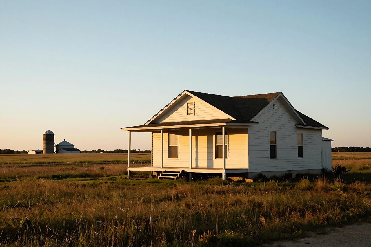
You found the house. Two acres, a decent shop out back, and a price that suddenly makes 100% USDA financing feel realistic. Then your lender types the address into the eligibility tool and the answer comes back red: not eligible. The town has 4,000 people. There are cornfields on three sides. How is this not rural?
That’s the USDA loan eligibility map doing what it does. It doesn’t measure scenery or vibe. It measures census tracts, metropolitan statistical area boundaries, and population counts locked in years ago. Learning to read it before you tour a property will save you a lot of wasted Saturdays.
What the USDA Eligibility Map Is Actually Measuring
The map is the geographic half of the Single Family Housing Guaranteed Loan Program. It answers one question: is this property in an area USDA considers rural? Everything else, including your income, credit, and debt-to-income ratio, is a separate test.
USDA’s current definition of a rural area comes down to three checks:
- Population. The community generally can’t exceed 35,000 residents, based on the most recent decennial census.
- Metro status. The property can’t sit inside a Metropolitan Statistical Area unless the specific census tract is designated rural in character.
- Character. Open country, or a tract with low enough density that it still functions as rural even if it’s near a city.
Those lines are drawn on census tracts, not on what you can see from the driveway. That’s the source of about 90% of the confusion.
How to Check an Address in About Two Minutes
USDA Rural Development publishes a free address lookup on its site. No login, no fee, and you don’t need a lender to use it.
Type the full street address, city, state, and ZIP into the search box. The tool returns one of a few results: eligible, ineligible, or eligible only in part of the area. Zoom in until you can see individual parcels. Boundaries often follow roads, rivers, and old property lines, so a house six doors down from an eligible one can land on the wrong side.
Two habits worth building. First, screenshot the result with the address visible and save it to the same folder as your pre-approval letter. Second, run the address again closer to closing. USDA revises its maps, and occasionally a tract gets added or removed mid-process.
Where the Map Trips People Up
A metro boundary doesn’t care about scenery
Plenty of subdivisions sit 25 minutes from a city of 250,000, surrounded by farmland, and still fall inside the metro boundary. The map says ineligible and no amount of pointing at cows changes it. Meanwhile, a tract 40 minutes out that looks more suburban on paper may qualify because its census tract was flagged rural in character.
The house itself isn’t the unit being measured
The tract is. This matters most on the edges of eligible zones, where buyers assume the whole ZIP code is a yes or a no. It isn’t. Check the exact address, every time, even for new construction in a neighborhood where the builder swears USDA works. Builders are sometimes right and sometimes repeating something they heard in 2019.
Eligibility expires
When a census update pushes a community past the population threshold, USDA typically grandfathers the area for a period so pending loans can close. After that window closes, the same address that worked for your neighbor two years ago may not work for you. Never assume yesterday’s approval is today’s eligibility, and never rely on a forum post from 2021.
Passing the Map Doesn’t Mean Passing the Program
A green result only clears the location hurdle. The next filter is income, and it’s the one that quietly disqualifies more buyers than the map does.
USDA caps household income at roughly 115% of the area median income, adjusted for household size and county. The number is calculated on total household income, not just the borrower’s paycheck. If a spouse, a live-in partner, or a working adult child earns money under the same roof, that income counts. Two teachers in a low-cost county can land above the line even though they feel thoroughly middle class.
Credit, debt ratios, and documentation come next. The full set of rules, from the 640-ish credit reality to how gift funds and self-employment income are treated, is worth reading before you start gathering paperwork. Our breakdown of USDA loan requirements covers what actually gets files approved.
What the Map Won’t Tell You About the Property
Even an eligible address can fail for reasons that have nothing to do with geography. The map has no opinion on these, but the underwriter and appraiser do:
- Primary residence only. No rentals, no flips, no second homes.
- No working farms. A few acres is fine. A property that generates farm income is a different loan program entirely.
- Limited income-producing land. USDA caps how much of the site can be used for income purposes, so that 40-acre parcel with a hay operation needs a closer look.
- Well and septic standards. Both must be inspected and meet local and USDA requirements, which can add cost and time.
- Property condition. Peeling paint, a failing roof, or a missing railing can stall the appraisal on the guaranteed program.
None of these are dealbreakers by themselves. They just mean the map is step one, not the finish line.
If the Address Comes Back Ineligible
You have three realistic paths, and the right one depends on your cash and your timeline.
The first is to keep shopping. USDA’s terms are hard to beat when the address cooperates, and widening your search radius by 15 minutes often opens up qualifying tracts.
The second is an FHA loan comparison, which puts 3.5% down on the table with looser location rules and more forgiving credit standards. The monthly mortgage insurance is the tradeoff. Run both scenarios with real numbers rather than assuming the lower down payment wins.
The third is conventional financing. A conventional versus USDA comparison is useful here, especially if you have 3% to 5% down and strong credit, because private mortgage insurance drops off once you build equity, while USDA’s annual fee sticks around for the life of the loan.
Run the Address, Then Run the Numbers
Before you write an offer on a rural property, do two things in the same afternoon. Look up the exact address on the USDA eligibility map and save the result. Then ask your loan officer to confirm your income against the county limit for your household size, in writing.
If the map is ambiguous, which happens on tract edges, your loan officer can request an official determination from the state Rural Development office. That written answer beats any map screenshot when an underwriter reviews the file later.
The last piece is pricing. USDA rates are set by individual lenders, not by the government, so two quotes on the same day can differ by an eighth of a point or more, and the annual guarantee fee is baked into your payment for the long haul. Comparing what lenders actually quote on USDA loans matters as much as confirming the property is eligible in the first place. A qualifying address with a mediocre rate is still an expensive loan.